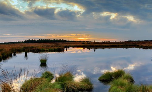
Stream and Wetlands Services
Pilot provides stream and wetland management solutions to minimize risks associated with Greenfield site development projects, re-development projects, and real estate property transactions. Pilot staff has experience performing a variety of natural resources services to identify the presence and extent of streams, wetlands and other surface waters, field verifications with the U.S. Army Corps of Engineers and various State agencies to obtain permit approvals.
Pilot reviews various literature sources including the U.S. Department of Agriculture Soil Surveys, U.S. Geological Survey Topographic Maps, U.S. Fish and Wildlife Services National Wetland Inventory Maps, Federal Emergency Management Agency Flood Insurance Rate Maps and Geologic Maps to determine the potential presence of streams, wetlands or other surface waters on a site. In general, a field delineation of the site determines and marks the approximate locations of wetlands and other surface waters present on the site. Pilot personnel provides agency  verification information to the U.S. Army Corps of Engineers and the appropriate State agency to conduct field verification of the delineated boundaries. Our staff has experience assisting clients seeking approvals of Federal and State Nationwide Permits, Individual Permits, 401 Water Quality Certifications, and N.C. Riparian Buffer Variances. Our staff has experience assisting applicants with completing Alternatives Analysis and meeting avoidance and minimization measures as required by the agencies. Pilot can provide consulting and design services to create and restore streams and wetlands and have vast experience incorporating Mitigation Plans, Planting Plans and Annual Monitoring Plans to satisfy U.S. Army Corps of Engineers and State of North Carolina Requirements for the creation/restoration of streams and wetlands.
PEI Stream and Wetland Services
Stream and Wetland Determinations/DelineationsU.S. Army Corps of Engineers and State of North Carolina VerificationsPermitting Services
-
-
- Nationwide Permits, Individual Permits, and Buffer Variances
-
Design of Created and Restored Streams and Wetlands and Annual Monitoring, Mitigation Proposal, PlansStream and Wetland Quality and Function Evaluations

